Brilliant orange sunsets are common due to Saharan Dust particles.
If you watch Allyson Rea, Chief Meteorologist on NBC 2, she mentions Saharan Dust in almost every weather forecast during the summer. So, what exactly is it?
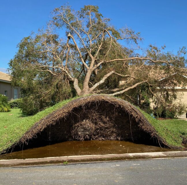
Saharan dust, also called the Saharan Air Layer (SAL) by the National Oceanic and Atmospheric Administration, forms over the Sahara Desert during the late spring and summer. It’s made up of sand, dirt, and mineral particles like iron and phosphorous, which are lifted into the atmosphere from 3.5 million square miles of Africa’s Sahara Desert. Its dust clouds can travel and impact locations around the globe, thousands of miles away from its origins. The warmth, dryness and strong winds associated with the dust clouds have been shown to suppress tropical cyclones.
The SAL is actually a well-mixed dry pocket of air that usually resides between 5,000 and 15,000 feet above sea level. Saharan dust plumes pushed by the trade winds across the deserts of Mali and Mauritania can reach the Caribbean Sea and the Gulf of Mexico several times every year … normally from June through mid-August. Indeed, according to NASA, more than 60 million tons of this mineral Saharan dust lofts into the atmosphere annually!
The dust particles and stable air associated with the Saharan Air Layer can disrupt local and regional weather patterns. Dry winds carrying the particles help smother storm systems by drying out the humid tropical air that feeds turbulent weather across a well-traveled route for hurricanes. Tropical storms don’t want it dry and dusty… they want it hot and wet.
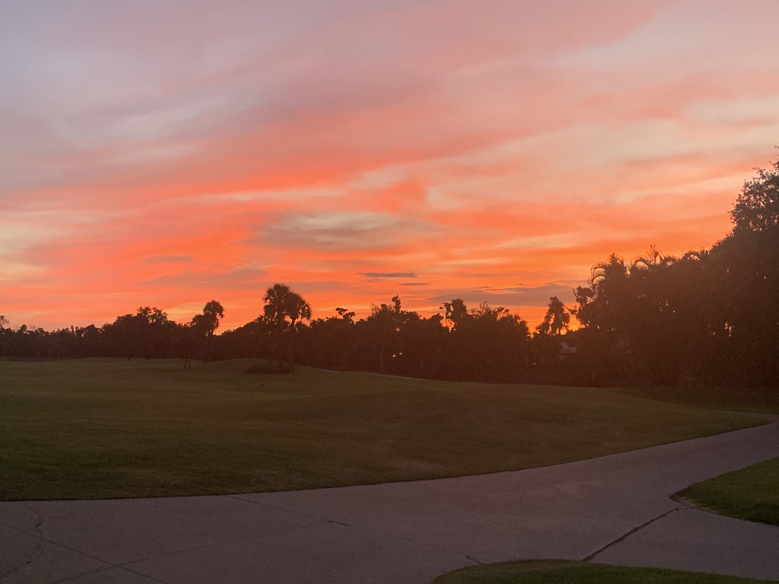
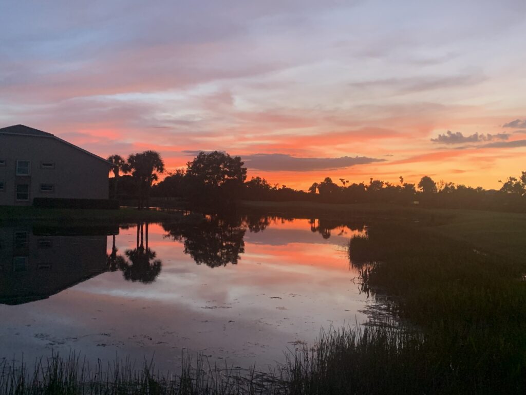
Because of the special way Saharan dust scatters sunlight, the best times of day to spot it are usually a few hours after sunrise and in the late afternoon. During the day, the sky will have a hazy white look and sunsets take on an orange glow.
Technically, the sun’s white light is composed of all the colors of the rainbow. Our skies are normally blue because the gases that make up the atmosphere naturally scatter blue hues (shorter wavelengths) as opposed to the yellow-orange-red hues (longer wavelengths). Sunsets and sunrises take on more yellow and reddish hues because the low-angle sunlight passes through more of the atmosphere before it reaches your eyes. A heavy load of dust in the atmosphere can enhance this effect, leading to longer-lasting, duskier colors that cause vivid sunsets and sunrises. (See accompanying photos.)
What are the other impacts of SAL in SW FL? It can cause trouble for some people with allergies and other respiratory problems. Unfortunately, some health experts say the symptoms can mimic those of COVID-19.
There is also a correlation between SAL and red tide. Iron particles are inside this dust, and they will precipitate into the Gulf of Mexico, and mix with bacteria that transforms it into excess nitrogen. All of a sudden nitrogen bloom. The FL Fish and Wildlife Conservation Commission says SAL actually fuels two kinds of algae: the non-harmful brown algae referred to as “sea sawdust,” and the one we do not like to talk about, red tide.
Meteorologists are just now beginning to understand this weather phenomenon as it has only been detected and recorded by satellites in the last ten years or so. In the meantime, enjoy those beautiful sunsets!